Alberta Climate Information Service (ACIS)
Data Products & Tools
Bringing you up-to-date Alberta weather and climate data
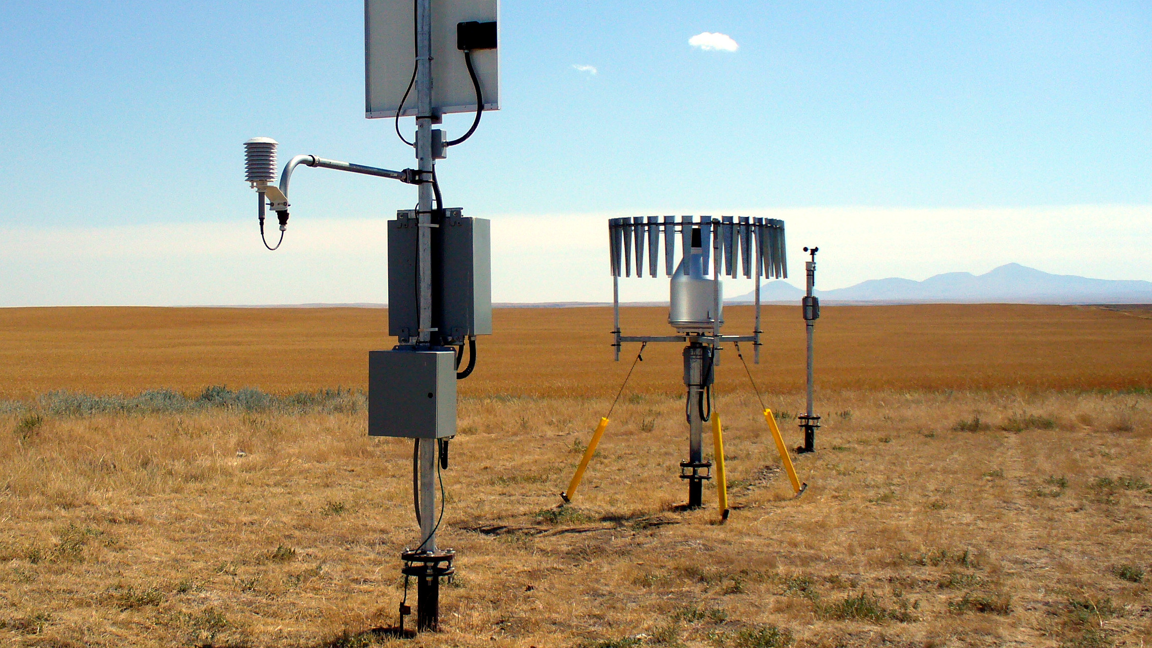
Welcome to the Alberta Climate Information Service (ACIS), an interactive tool that helps producers, farm consultants, and researchers to see Alberta weather forecasts, browse over 10000 maps of Alberta weather and Alberta climate related information, and access near real time station data from 524 meteorological stations operating in the province of Alberta. The maps and weather data describe Alberta's weather, climate and related agriculture features to help with your long-term planning and decision-making throughout the growing season.
-
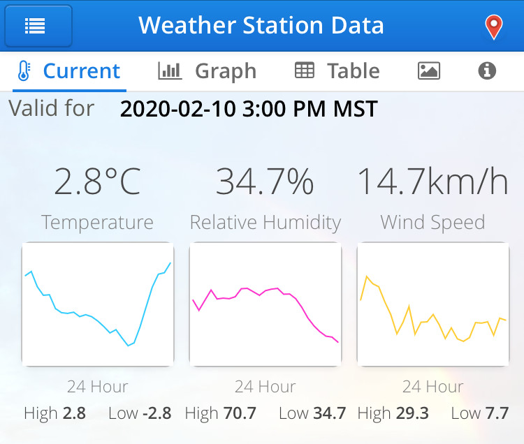
![[Alberta Weather Station Current Conditions]](/acis/resources/interface/img/weather-station-conditions-summary-card.jpg)
Current weather conditions measured by the weather station of your choice. View at-a-glance weather derivatives for the current growing season to make more informed operational decisions.
-

Find out where the meteorological stations are in Alberta and download, graph and compare near-real-time data from 524 stations. Both hourly and daily data is available.
-
![[Alberta Weather Conditions Map]](/acis/resources/interface/img/weather-conditions-map-card.jpg)
View current and historical weather conditions for a variety of weather elements across the Province on an interactive map.
-
![[Alberta Weather Radar Imagery]](/acis/resources/interface/img/weather-radar-card.jpg)
View animated weather radar precipitation maps for Alberta on an interactive map interface. You can zoom the radar map right to any location to see if it received precipitation or if a storm system is headed its way.
-
![[Alberta Weather Forecast]](/acis/resources/interface/img/weather-forecast-card.jpg)
View a week-long weather forecast for several Alberta municipalities as issued by the Environment Canada Weather Office.
-
![[Alberta Climate and Atlas Maps]](/acis/resources/interface/img/climate-maps-card.jpg)
Explore Alberta's current and historical climate trends and extremes. Currently, map categories include precipitation, temperature, soil moisture, snowpack, drought indices and others.
-
![[Climate Normals for Alberta]](/acis/resources/interface/img/almanac-card.jpg)
View and compare climate normals for various periods during the last half century.
-
![[Weather Station Wind Rose]](/acis/resources/interface/img/wind-rose-card.jpg)
View the prevailing wind direction at weather station locations on a wind rose chart for a period of your choosing.
-
![[Alberta Township Interpolated Data]](/acis/resources/interface/img/township-data-card.jpg)
View, graph or download interpolated weather data at the Alberta township level for the past century.
-
 Alberta Climate Information Service mobile friendly web application to view weather and climate data as well as weather driven tools on your phone or tablet.
 -
 For Researchers and Consultants.
If your project needs a substantial amount of data, you can request a data extract. Note all requests are subject to vetting and approval.
-
Learn about the Alberta Climate Information Service and this data portal.
-
Read about the current moisture situation in the Province of Alberta.
-
Familiarize yourself with the caveats and restrictions placed on the data as well as the Terms of Use governing the products.
-
Learn about the various terminology used on the Alberta Climate Information Service web site.
-
Download documentation and resources describing the processes behind the Alberta Climate Information Service.
-
See the most recent developments and changes with regard to the Alberta Climate Information Service.
-
![[Fusarium Infection Risk Report]](/acis/resources/interface/img/fusarium-wheat-card.jpg)
Fusarium Head Blight Disease Severity Value report.
-
![[Alberta Weather-based Insect Pest Prediction]](/acis/resources/interface/img/insect-grain-sticky-card.jpg)
Weather-based near-real-time crop insect pest monitoring prediction model for three economically significant insect pests: Bertha Armyworm (in Canola), Wheat Midge (in cereals) and Alfalfa Weevil (in forage crops).
-

Learn about the Irrigation Management Climate Information Network (IMCIN).
-
![[IRRI-Cast Crop Water Use Report]](/acis/resources/interface/img/demofarm-photo-3.jpg)
Calculate crop water use for irrigation scheduling using the online IRRI-Cast application.
-
![[Irrigation Energy Cost Calculator]](/acis/resources/interface/img/farm-pump-card.jpg)
Compare the irrigation energy cost for different energy sources, electricity, diesel, natural gas and propane.
-
Learn more about the Alberta Irrigation Management Model (AIMM) software package developed by IMCIN.
-
Access pages with climate files compatible with the IMCIN AIMM software.
-
Access daily evapotranspiration values that have been calculated for a variety of crops grown in southern Alberta.